Back to Weather

5-day forecast / Dallas, TX

TuesdaySunny105° / 85° 8%
WednesdayMostly Sunny then Slight Chance Showers And Thunderstorms104° / 80° 20%
ThursdayChance Rain Showers100° / 78° 26%
FridaySunny100° / 78° 5%
SaturdaySunny101° / 79°

Dallas Faces Extreme Heat Warning and Highs Near 105 - Aug 25, 2 PM

Dallas weather, updated every four hours — local forecasts you can trust.

Dallas is under an Extreme Heat Warning and Heat Advisory. Current temperatures are 95F, with today's high near 105F. Stay hydrated and limit outdoor activity during peak heat hours.

Demarcus Lindgren

August 25, 20262 min read

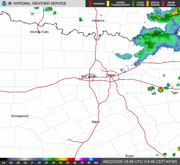
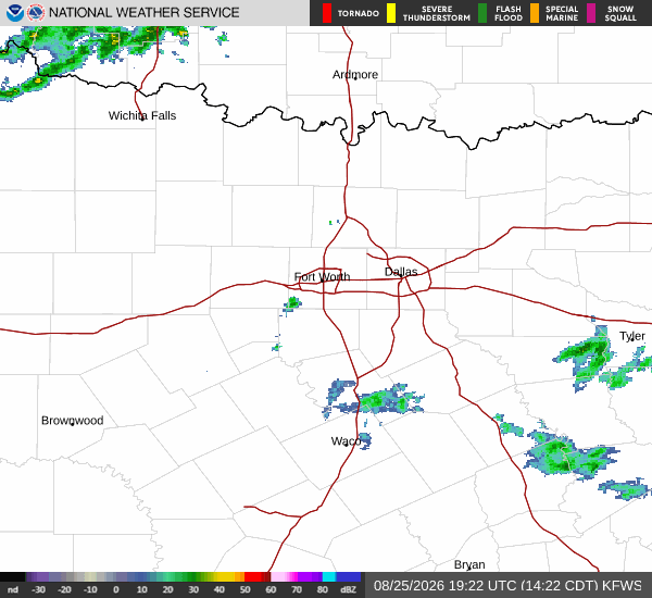
National Weather Service radar for North Texas (KFWS)

*As of Aug 25, 2 PM local time.*

Current Conditions and Alerts

Dallas is currently experiencing intense heat, with the air temperature sitting at 95F and feeling like 96F. The sky is clear, and relative humidity stands at 34% with a dew point of 63F. Winds are blowing from the south southwest at 11 mph, with gusts reaching 17 mph.

Two active weather alerts are in effect for the area. The National Weather Service has issued an Extreme Heat Warning, which is expected to remain in place until 9:00 PM CDT today. Additionally, a Heat Advisory is active, extending until 9:00 PM CDT tomorrow.

These alerts highlight the severe and moderate risks associated with the current thermal conditions.

Today and Tonight Outlook

Residents should expect sunny skies for the remainder of the day. The high temperature will reach near 105F, while the low will settle around 85F. The chance of precipitation is minimal at 8%.

Heat index values may climb as high as 104F, making the air feel even more oppressive. Winds will continue to blow from the south southwest at around 10 mph, with gusts potentially reaching 20 mph. Tonight, conditions will remain mostly clear with a low near 85F.

The heat index will stay elevated, reaching up to 104F. Winds will shift to the south at 5 to 10 mph, with gusts again possible up to 20 mph.
Tomorrow's Forecast

Tomorrow will bring mostly sunny skies with a high near 104F. Temperatures may dip to around 101F in the afternoon. A slight chance of showers and thunderstorms is possible after 1:00 PM, with a 20% chance of precipitation.

Heat index values could reach 106F. Winds will be from the west at 5 to 10 mph. Given the sustained high temperatures and heat index values, it is crucial to stay hydrated, limit midday exertion, and check on vulnerable neighbors.

Avoid prolonged exposure to direct sunlight and seek air-conditioned environments when possible.

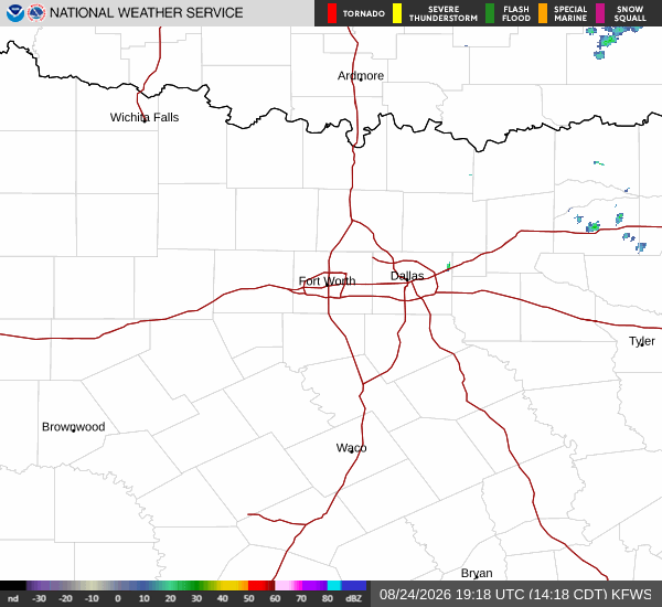
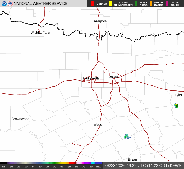
National Weather Service radar for North Texas (KFWS)

Sources

https://radar.weather.gov

https://api.weather.gov

https://open-meteo.com

Share

Demarcus Lindgren

Demarcus Lindgren covers weather, storms, and seasonal life around Dallas.

Related Stories

More in Sport