Back to Weather

5-day forecast / Dallas, TX

SaturdaySunny105° / 84° 4%
SundayMostly Sunny108° / 85° 5%
MondaySunny108° / 83° 2%
TuesdaySunny108° / 83° 3%
WednesdaySlight Chance Rain Showers then Slight Chance Showers And Thunderstorms106° / 80° 15%

Dallas Heat Warning: Air Quality Alert Active as Temperatures Soar - Aug 22, 2 PM

Dallas weather, updated every four hours — local forecasts you can trust.

Dallas is under an Extreme Heat Warning and Air Quality Alert. Current temperatures are 102F, feeling like 105F. Expect highs near 105F today and 108F tomorrow with minimal rain chances.

Demarcus Lindgren

August 22, 20262 min read

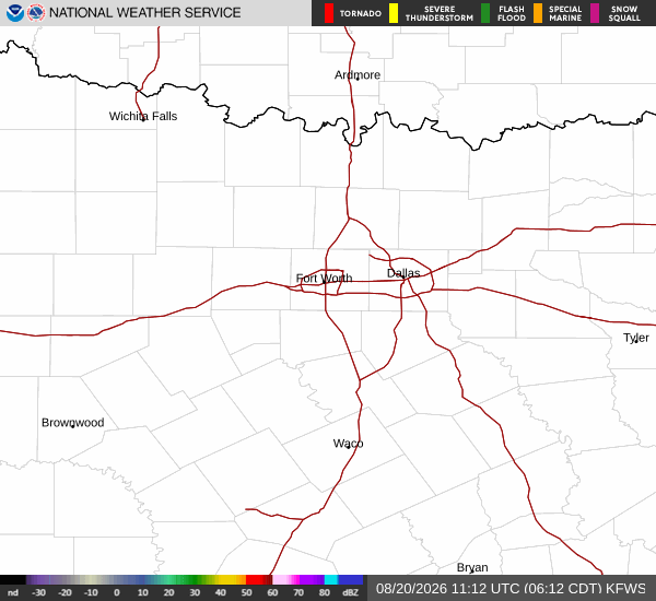
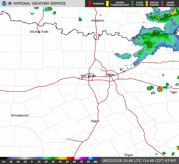
National Weather Service radar for North Texas (KFWS)

*As of Aug 22, 2 PM local time.*

Extreme Heat and Air Quality Concerns

Dallas residents are currently facing dangerous heat conditions alongside an active air quality issue. The National Weather Service has issued an Extreme Heat Warning, indicating severe conditions that are expected to persist. Additionally, an Air Quality Alert is in effect, signaling that outdoor air quality may be unhealthy for sensitive groups.

These alerts require immediate attention from anyone planning outdoor activities. The combination of intense heat and poor air quality creates a significant health risk, particularly for those with respiratory or cardiovascular conditions. It is crucial to stay informed and take necessary precautions to protect your health during this period.

Current Conditions and Today's Outlook

As of this afternoon, the air temperature in Dallas stands at 102 degrees Fahrenheit. However, the heat index makes it feel like 105 degrees, a difference that can significantly impact physical comfort and safety. Relative humidity is at 28 percent, with a dew point of 63 degrees.

Winds are light, blowing from the south southwest at around 3 to 5 miles per hour, with gusts reaching 4 miles per hour. The sky remains clear, offering no relief from the direct solar radiation. Today’s high is expected to reach near 105 degrees, with a low of 84 degrees.

The chance of precipitation is minimal at 4 percent, meaning dry conditions will dominate. Heat index values could climb as high as 107 degrees, intensifying the perceived heat.
Tonight and Tomorrow's Forecast

Tonight, the weather will remain warm with a low around 84 degrees. There is a slight chance of showers and thunderstorms between 10 PM and 4 AM, but overall conditions will be partly cloudy. Heat index values may reach 105 degrees, keeping the air muggy.

Winds will shift to the south at around 5 miles per hour. Tomorrow, the heat will intensify further, with a high near 108 degrees and a low of 85 degrees. The sky will be mostly sunny, and the chance of rain is only 5 percent.

Heat index values could soar to 111 degrees, making it feel even hotter than the actual temperature. Winds will continue from the south southwest at 5 miles per hour. Given the extreme heat and air quality concerns, it is essential to limit outdoor exertion, stay hydrated, and monitor air quality levels throughout the day.

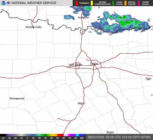
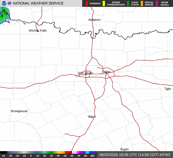
National Weather Service radar for North Texas (KFWS)

Sources

https://radar.weather.gov

https://api.weather.gov

https://open-meteo.com

Share

Demarcus Lindgren

Demarcus Lindgren covers weather, storms, and seasonal life around Dallas.

Related Stories

More in Sport