*As of Jul 11, 12 PM local time.*
Intense Heat Dominates Saturday
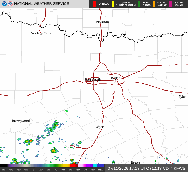
Dallas is experiencing a significant heat event this afternoon, with the air temperature currently at 90F. Due to the humidity, the feels-like temperature is 95F. The relative humidity stands at 52%, with a dew point of 70F, creating a muggy atmosphere despite the clear skies. Winds are blowing from the south at 8 mph, with gusts reaching 13 mph.
Today will be particularly hot, with a high near 98F. The National Weather Service indicates heat index values as high as 104. Residents should expect sunny conditions throughout the day.
As the sun sets, temperatures will drop to a low near 80F tonight. The sky will be mostly clear, and the heat index will remain elevated, reaching up to 103. South winds will continue at 5 to 10 mph.
The chance of precipitation is minimal at 2%.
Storms Expected Tomorrow
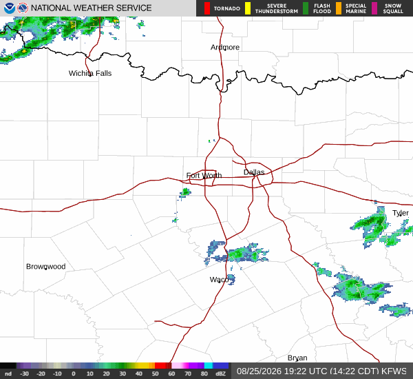
The heat will persist into tomorrow, with a high near 97F. However, the weather pattern shifts in the afternoon. A chance of showers and thunderstorms is expected after 1pm.
Sunny skies will give way to these storms, with the high near 97F and temperatures falling to around 95F in the afternoon. The heat index could reach as high as 105. South southwest winds will be around 5 mph.