Back to Weather

5-day forecast / Dallas, TX

SaturdaySlight Chance Showers And Thunderstorms100° / 79° 19%
SundaySunny101° / 79° 1%
MondaySunny100° / 79°
TuesdaySunny101° / 80°
WednesdaySunny102° / 80°

Dallas Heat Index Hits 103 as Temperatures Climb Near 100 - Aug 8, 1 PM

Dallas weather, updated every four hours — local forecasts you can trust.

Dallas residents face intense heat this afternoon with a feels-like temperature of 98F. Today's high will reach near 100F, with a slight chance of rain showers before 10am.

Demarcus Lindgren

August 8, 20262 min read

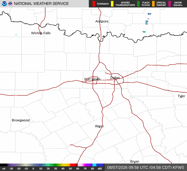
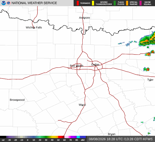
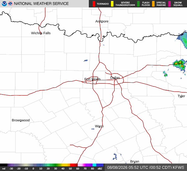
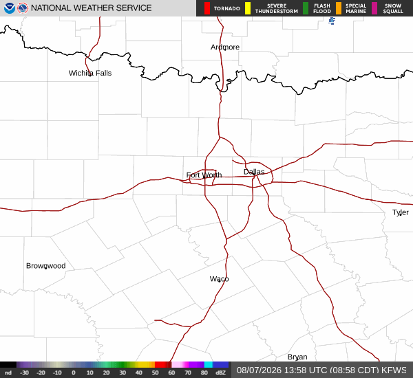
National Weather Service radar for North Texas (KFWS)

*As of Aug 8, 1 PM local time.*

Intense Heat Conditions

Dallas is experiencing very hot conditions this Saturday afternoon. The current air temperature stands at 95F, but the heat index makes it feel like 98F. Relative humidity is at 39%, with a dew point of 66F. Winds are light from the south southwest at around 7 mph, with gusts reaching up to 8 mph. The sky remains clear overhead.

Temperatures are expected to climb significantly throughout the day. Today’s high will reach near 100F, creating dangerous heat index values as high as 103. While the official forecast notes a slight chance of rain showers before 10am and a slight chance of showers and thunderstorms later, the primary focus remains on the extreme heat.

The chance of precipitation for today is listed at 22% in general summaries, though the detailed breakdown suggests a 20% chance during specific windows.

Tonight and Tomorrow Outlook

As the day transitions to tonight, conditions will remain warm with a low near 79F. There is a slight chance of showers and thunderstorms before 7pm. The sky will become mostly clear, and temperatures may rise slightly to around 81 overnight.

Heat index values could still reach as high as 101 during the evening hours. Winds will shift to the south at 5 to 10 mph.
Tomorrow brings continued warmth with a high near 100F and sunny skies. The chance of precipitation drops to 0%, offering no relief from the heat. Heat index values are forecast to reach as high as 102. Winds will remain from the south at 5 to 10 mph. Temperatures will drop to a low around 79 tomorrow night, with clear skies and winds around 10 mph.

Safety Reminders

Given the extreme heat indices expected today and tomorrow, it is crucial to stay hydrated and limit outdoor exertion during the hottest parts of the day. Check on elderly neighbors or those without air conditioning. Wear lightweight, light-colored clothing and seek air-conditioned environments when possible. Do not leave pets or people in parked vehicles.

National Weather Service radar for North Texas (KFWS)

Sources

https://radar.weather.gov

https://api.weather.gov

https://open-meteo.com

Share

Demarcus Lindgren

Demarcus Lindgren covers weather, storms, and seasonal life around Dallas.

Related Stories

More in Sport